As part of our professional and research work in the field of plant protection, we develop remote sensing methods for the early detection of plant diseases or pests and the determination of plant health status, high-throughput phenotyping, chemometric analysis of plants and plant material, and analysis and modeling of the spread of individual pests using GIS tools.
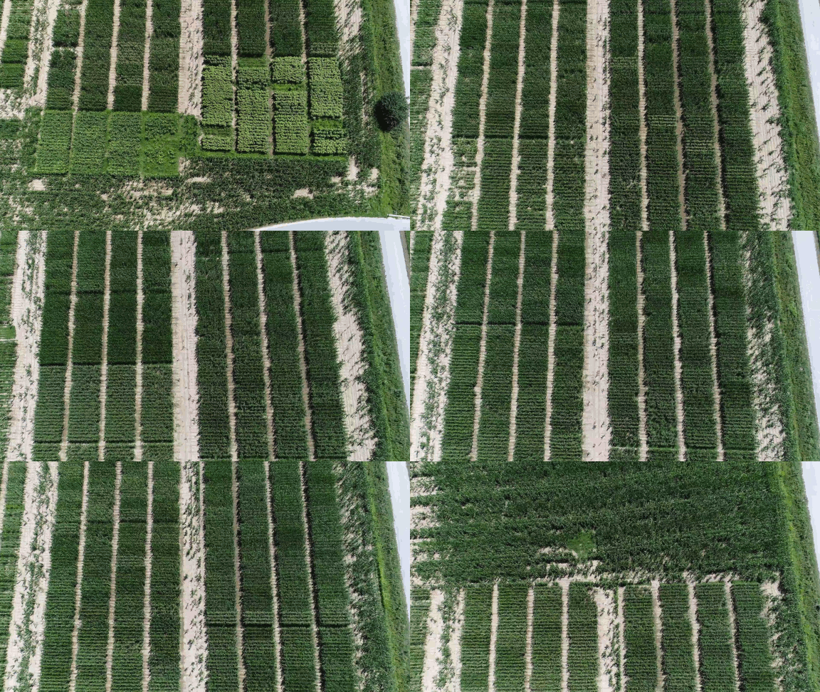
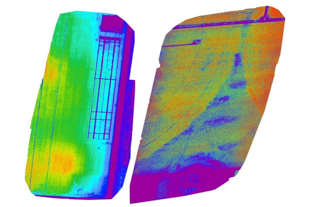
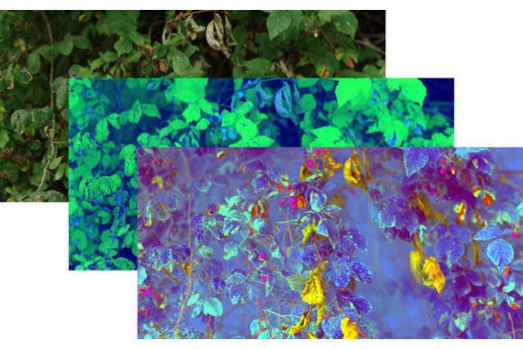
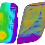
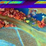
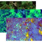
By analyzing aerial photographs (taken from planes and drones) and satellite images, we can much more effectively distinguish between plant species, determine their health status, and identify the presence of plant diseases and pests, as well as other stress factors (drought stress, nutritional disorders, etc.).
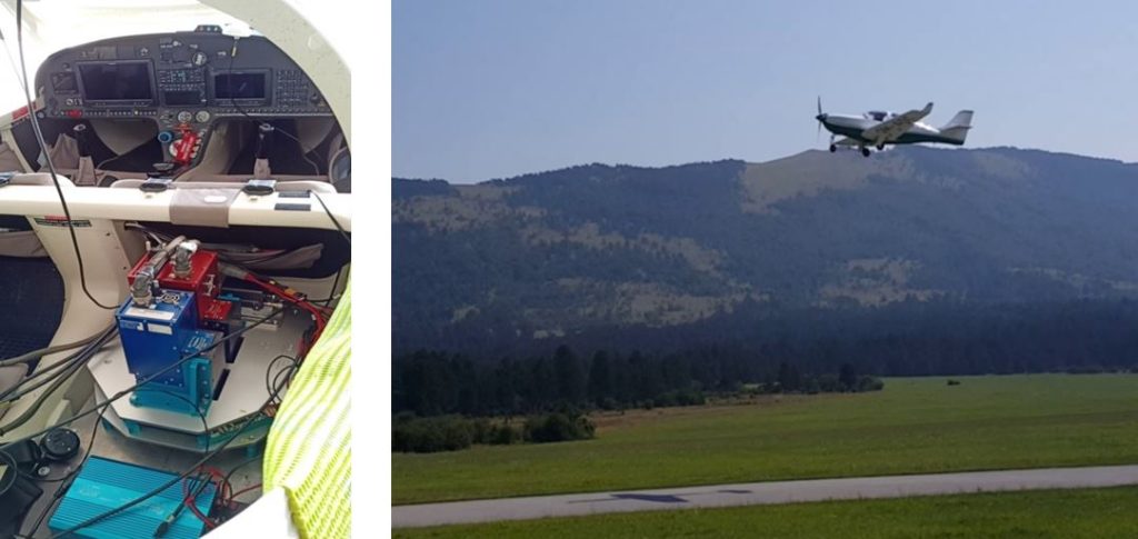
We use various sensors (RGB, multi- and hyperspectral, LiDAR) on different platforms (in the lab and greenhouse, drones, ultralight aircraft, satellites) to detect diseases or pests before visible symptoms develop and take timely and spatially accurate action.
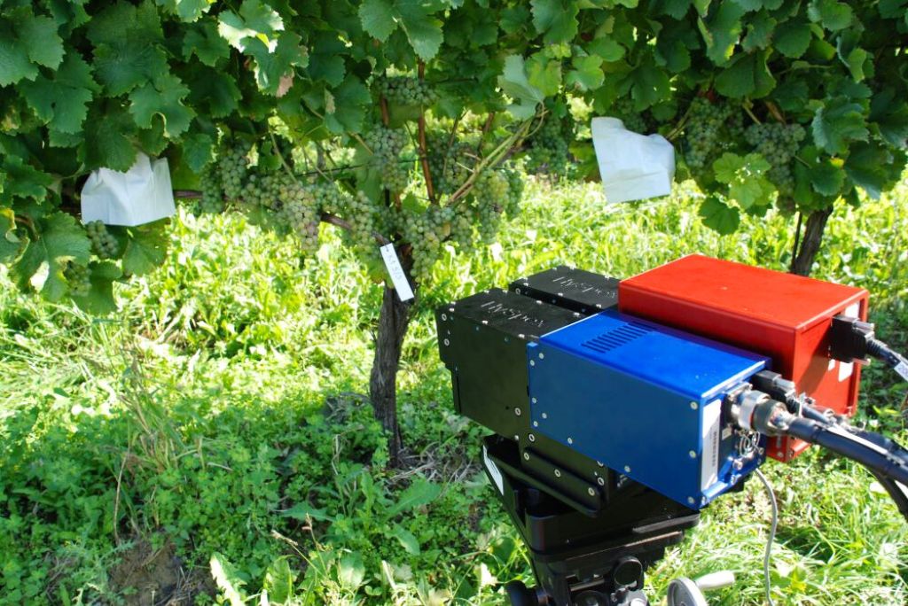
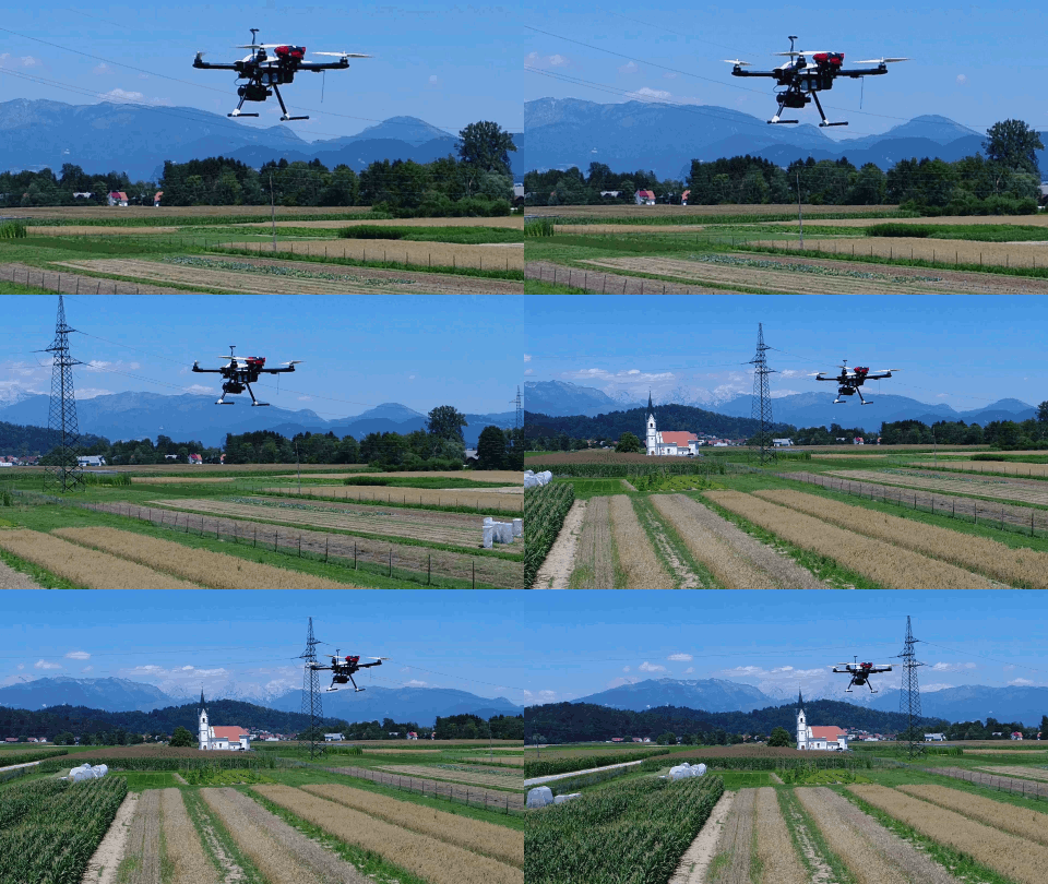
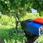
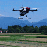
We are operators of a fleet of unmanned aerial vehicles in the specific category. In our work, we use multiple hyperspectral cameras for laboratory and aerial imaging and high-resolution multispectral satellite imagery (WorldView 2 and 3, Sentinel 2 and others).
In addition to classical statistical methods (e.g., linear mixed models and multivariate statistical methods), we also perform analyses of large amounts of data using machine learning methods (e.g., deep neural networks). We are also developing our own software for analyzing hyperspectral images in time series (SiaPy).
Research work
- determining the attack of various pests and diseases (e.g., root knot nematodes) on different plants,
- determining and distinguishing between biotic and abiotic stressors,
- determining and distinguishing between different root pests,
- high-throughput phenotyping in greenhouses and fields,
- chemometric characterization of plant responses to stress,
- chemometric analysis with a hyperspectral system,
- drifting and efficiency of application of plant protection products and low-risk products using unmanned aerial vehicles,
- variable rate application of plant health management products using unmanned aerial vehicles,
- analysis and modeling of the spread of selected pests.
Additional information
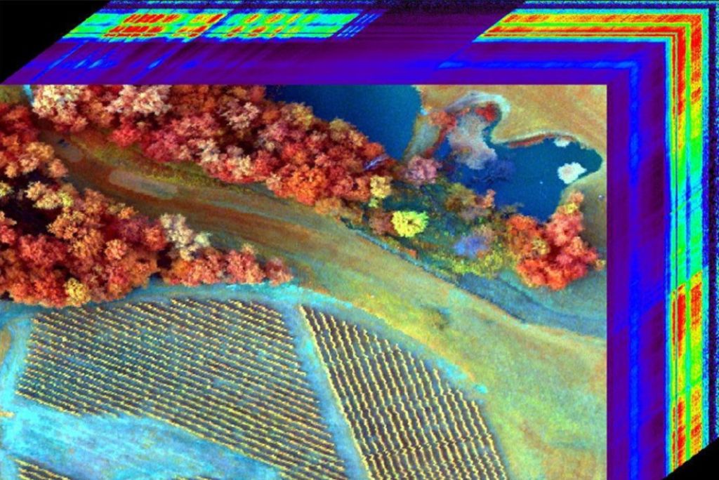
Hyperspectral imaging is a combination of digital photography and spectroscopy based on the analysis of electromagnetic waves – the spectrum reflected from an object or emitted by it. A hyperspectral camera can divide the light spectrum into dozens of spectral bands. For each image cell, it captures continuous information about the reflection of light in each spectral band.
Hyperspectral sensors collect information from individual bands as a collection of images, which are then combined into a three-dimensional hyperspectral data cube. Each light cell of the image contains a continuous light spectrum, known as a spectral signature. In addition to the visible part of the light spectrum (wavelengths from 390 to 700 nm), certain sensors also enable the capture of information in the near-infrared and short-wave infrared parts of the light spectrum (700 to 2500 nm).
More about: Uporaba daljinskega zaznavanja pri varstvu rastlin (.pdf)