![]()
| Portal eSOIL |
|
(password acquired*) |
WebGIS viewers are constantly updated and upgraded. We kindly ask you to send us informations us in case of errors, defects or new suggestions to cto(at)kis.si.
The Soil nformation Centre allows online access to the interpreted soil data and soil-related data, which are relevant for farming, environment protection and natural resources.
The goal of the Centre is to combine, edit, harmonize, standardize and most of all enable access to soil data, which have been collected with public funds. This data too often remain uncoordinated and scattered among different institutions or projects and that makes them less accessible. The aim of the Centre is to increase the availability and utilization of this data, according to the principle: »interpreted and public soil data in one place«.
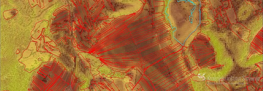
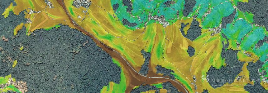
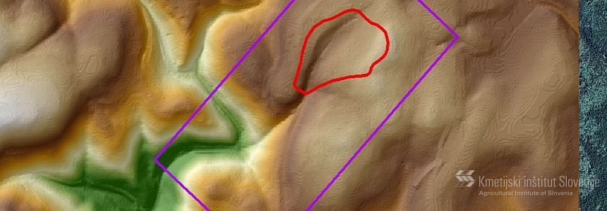
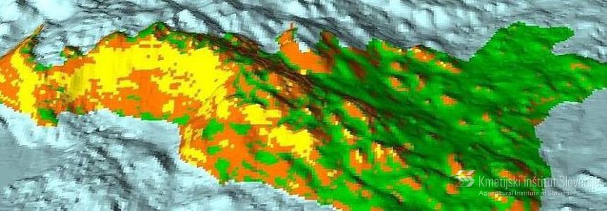
GIS web portals enable access to data and information about soil and environment for farmers, state institutions, departments, researchers and wider public. The content of these data is dinamicly changing and is up to date. The data available at the moment are public data from Soil map of Slovenia 1: 25 00, data from detailed soil maps, pedological profiles and from soil researches collected at Agricultural Institute of Slovenia.
The system is based on ORACLE data system and web GIS technologies named Giselle (Sinergise d.o.o.). It enables data visualisation, implementation of some basic spatial vector and raster analysis and operations and producing summaries and plot charts.